
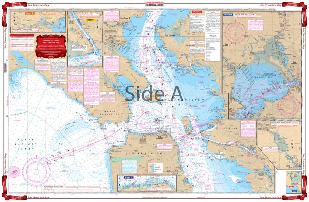
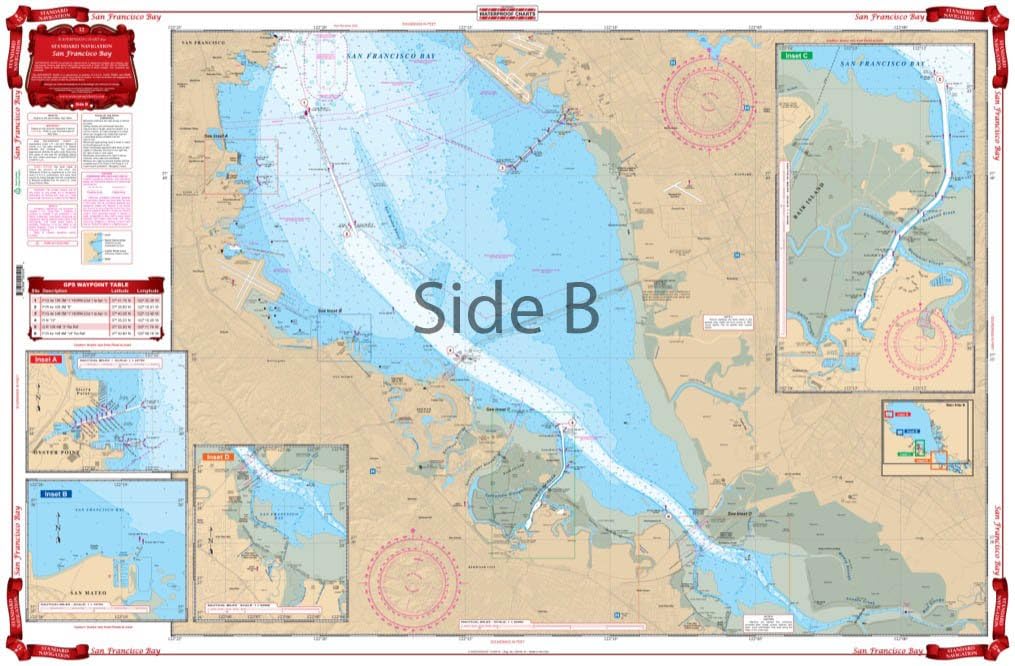
Standard Navigation, 52 San Francisco Bay
Product details
| Management number | 214525455 | Release Date | 2026/04/12 | List Price | $15.98 | Model Number | 214525455 | ||
|---|---|---|---|---|---|---|---|---|---|
| Category | |||||||||
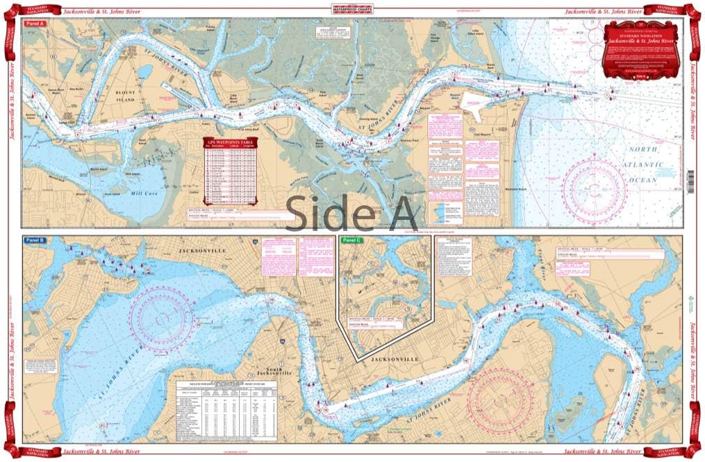
Covers the entire Bay area from Vallejo and San Pablo Bay south to Redwood City and Palo Alto. Also covers west out the main ship channel to the sea buoy. Detailed blow ups are provided for Vallejo and Mare Island, San Rafael, the San Francisco Yacht Harbor and North oint area, Coyote Point in San Mateo, Redwood Creek, Oyster Point and Sierra Point. Red Indicators for fuel docks. Information from 4 NOAA Charts: #18651, #18651, #18649, and #18650. Chart is 25" X 38". WGS84 - World Mercator Datum.
- Two Sided
- Foldable
- Tear Resistant Synthetic Paper (Hop-Syn) 5 PP Tree Friendly
| Material | Polypropylene |
|---|---|
| Brand Name | Waterproof Charts |
| Part Number | 52 |
| Manufacturer | Waterproof Charts |
| Package Weight | 0.08 Kilograms |
| Item Package Dimensions L x W x H | 25.2 x 1.3 x 1.18 inches |
Bestseller ranking
Charts & Maps


Correction of product information
If you notice any omissions or errors in the product information on this page, please use the correction request form below.
Correction Request Form